Landscape Model
Develop coordinated landscape elements, levels, hardscape, planting zones, and associated documentation at the required LOD 350.

BIM Process / Case Study
Abu Dhabi, United Arab Emirates
Landscape BIM & Documentation
A mission-critical coordination package connecting landscape, architecture, MEP, suppliers, and site requirements through a reliable, clash-aware model.
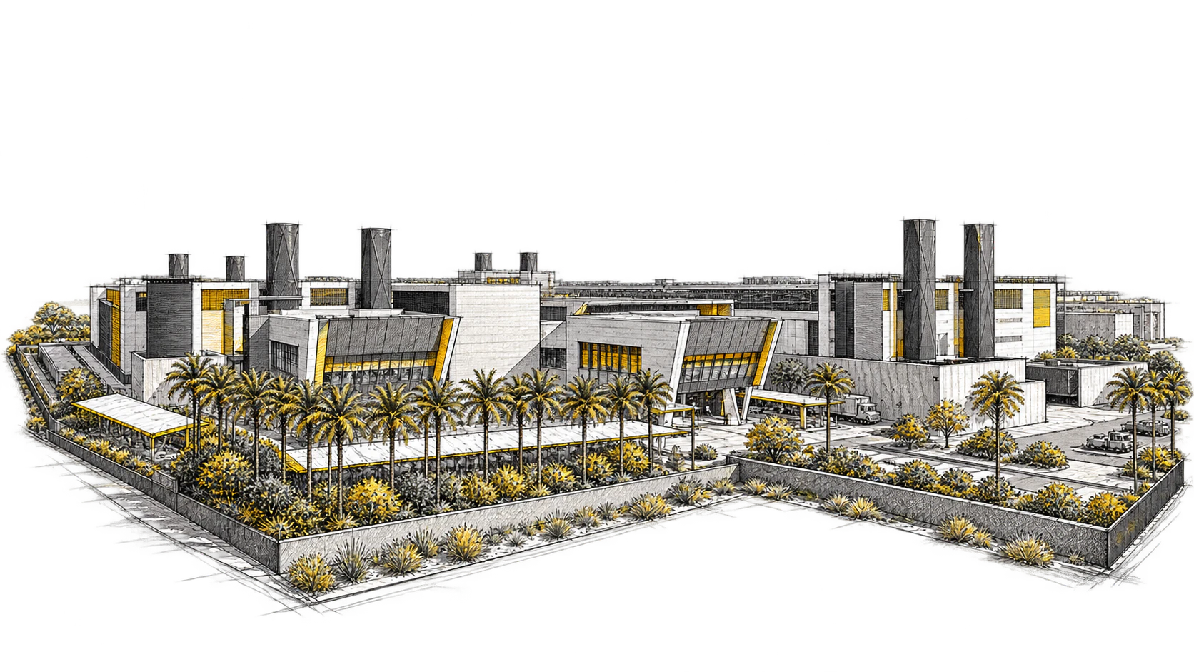
Scope Of Work
Landscape content was developed with the surrounding technical systems in mind, exposing service routes, levels, boundaries, and supplier constraints before they reach site.
Develop coordinated landscape elements, levels, hardscape, planting zones, and associated documentation at the required LOD 350.
Coordinate the landscape package with architectural edges, MEP routes, drainage, and other critical below- and above-ground conditions.
Use clear model information to align specialist input and reduce uncertainty at the delivery interfaces.
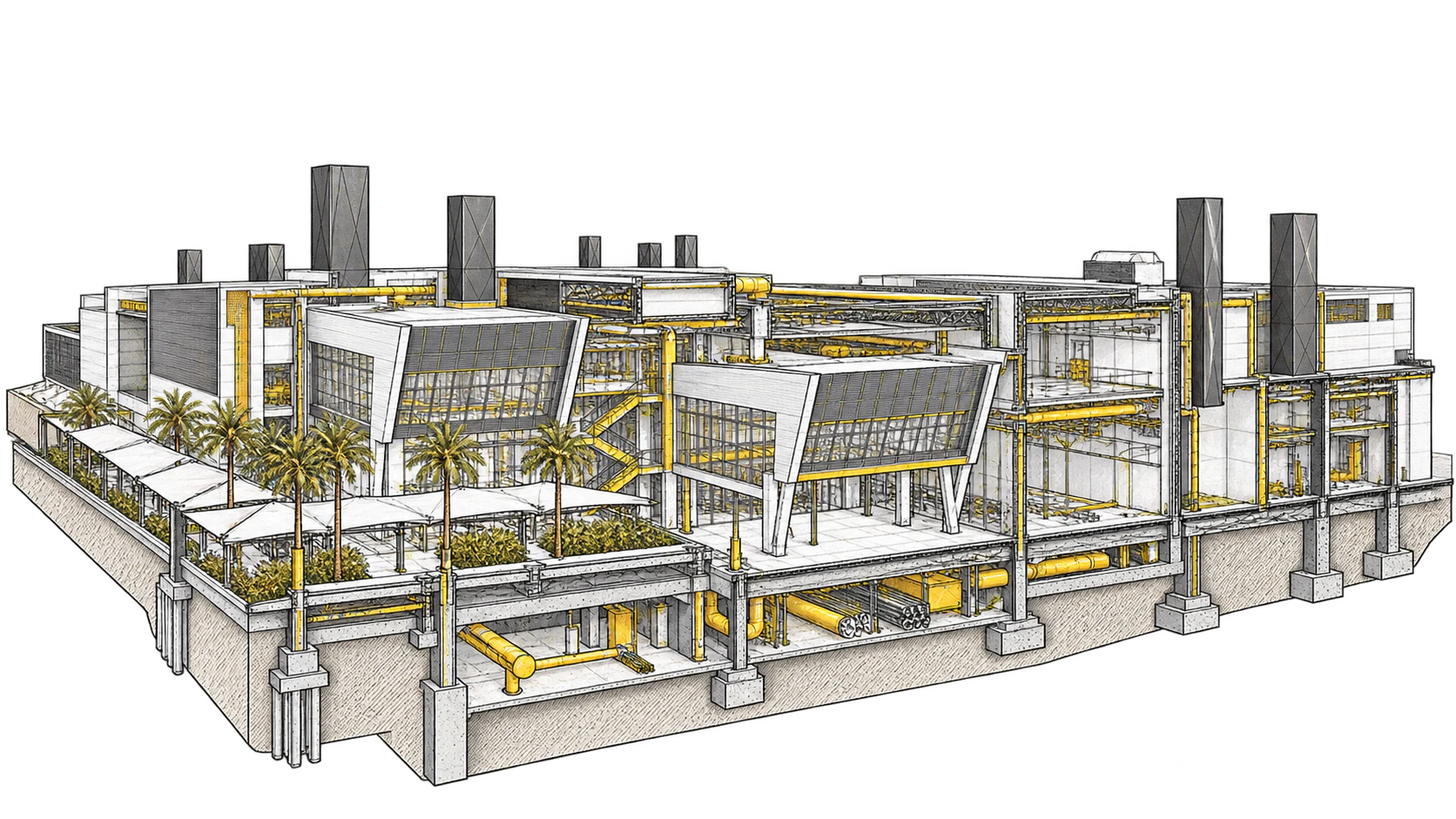
Delivery Methodology
A cloud-based coordination process kept the landscape package connected to the technical decisions surrounding it.
Establish levels, grids, boundaries, and model requirements as a shared reference for the landscape package.
Bring landscape, architecture, and MEP together for targeted clash detection and technical review.
Assign, close, and retain coordination decisions through the common project environment.
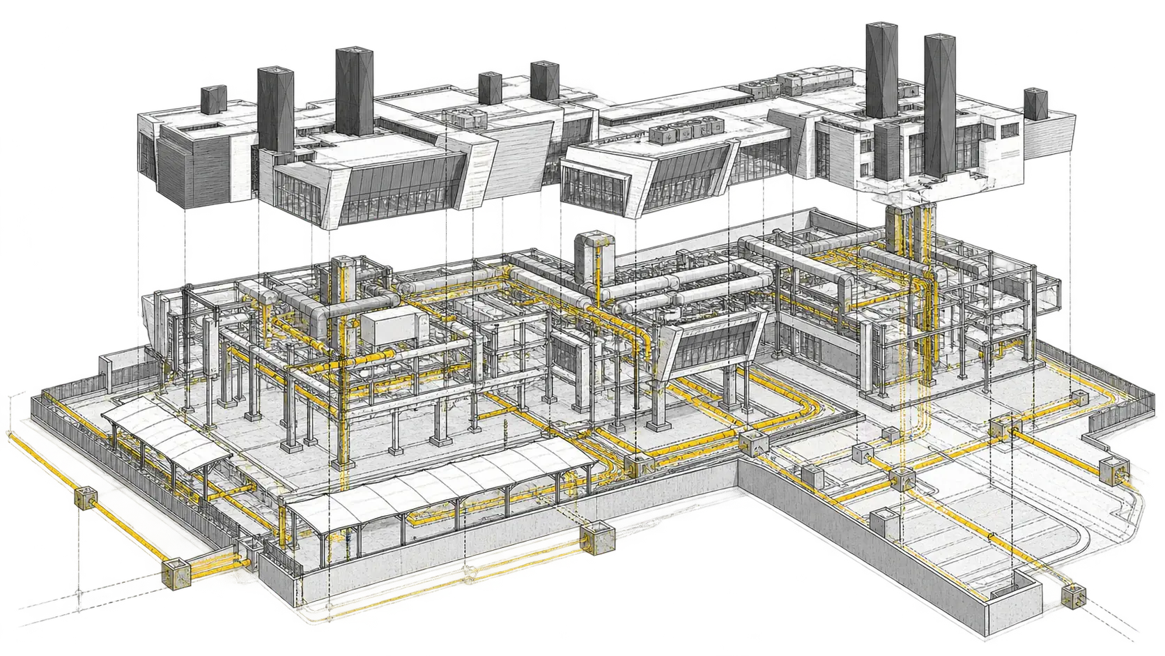
Core Environment